
Orange Neighbors: Block Sources
Records around one Orange address are parcel-based, event-based, or historical. The map is the spatial starting point. The proof book supplies annual tax fields. PRESS records transactions, and historical directories preserve older street snapshots. Together they can describe a block without pretending to be a current household directory. Use a source's date and label every result as parcel, tax, deed, voter-status, or historical-directory information.
| Source | What It Shows About a Block | Access |
|---|---|---|
| NJGIN Cadastral parcels | Adjacent polygon edges, tax blocks, parcel identifiers, and map relationships | Free service; map geometry is not a survey and protected names can be redacted |
| Orange proof book | Listed owner, mailing address, situs, class, values, and tax fields by block and lot | Annual public record; January list timing can create a lag |
| Essex PRESS | Recorded parties and instruments tied to municipality, block, lot, and date | Free index; 90-day date cap, older materials and copies use the Register |
| NJGIN address points | Street, subaddress, postal place, and road-linkage reference data | Monthly statewide layer; not proof of occupancy |
| Voter status or file | An individual status result or fields released through a lawful request | Individual portal only; full-file procedure was not verified |
| Criss-cross directory | Edition-specific address, occupant, vacancy, telephone, and nearby entries | Library and digitized historical collections; not current evidence |
The Orange proof book can show an owner mailing address outside Orange while the situs remains in the city. That is useful correspondence and ownership context, but it does not establish that the listed owner or every non-owner occupant is present at the property. Note: A parcel touching another parcel does not prove a shared household, common owner, or current occupancy.
Find Orange Neighbors in NJGIN
NJGIN Property Explorer and parcel data accept address, county, municipality, block, and lot as spatial search paths. The Cadastral service provides Parcels and Tax Blocks layers. Search the target address, confirm Orange and Essex, then zoom until the surrounding parcel edges and tax-block lines are visible. A visible parcel can be a useful lead even when a protected owner field is redacted. It is not a legal boundary survey or an occupancy record.
The NJGIN Cadastral service is the map layer used to orient an Orange neighbors search.
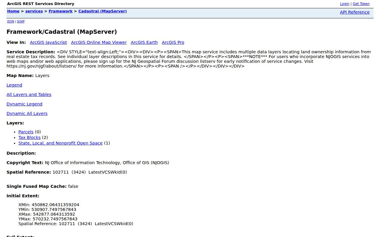
Parcel and tax-block layers are maintained separately from a claim about who lives at an address. NJGIN also reported an August 2026 Essex geometry update that did not change MOD-IV attributes, so the map shape can change while a tax attribute remains the same. Record the retrieval date when a boundary matters.
Map an Orange Block Parcel by Parcel
The adjacent-parcel process moves from a target address to identifiers, then from identifiers to the tax and recorded-document sources. It is deliberately narrow. A whole-street chain uses a different workflow because it needs more than the parcels touching one address.
- Locate the target address in NJGIN, confirm the municipality, and save the shown block, lot, and parcel context. Keep the street spelling and any subaddress exactly as returned.
- Zoom until parcel edges and tax-block lines are clear. Select each polygon that directly touches the target parcel and record its parcel ID, situs, and any visible map attribute.
- Cross-check each identifier against the Orange annual proof book. Preserve the owner name, mailing field, property location, list year, and class as separate tax fields.
- Use Essex PRESS by municipality and block or lot for recorded transactions. Compare party role, instrument, document date, and legal-description context before connecting records.
- Stop at the parcel record when the question is immediate adjacency. For a named street's longer address trail, use the Orange Street Directory workflow.
The key flow is address to parcel, parcel to block and lot, block and lot to tax or recorded-document evidence. It avoids treating a map click as a list of Orange neighbors. It also makes each handoff auditable if a map layer, annual roll, or index later changes.
Orange Neighbor Parcel Records
A parcel record can contain owner name, mailing address, situs, block and lot, dimensions, class, assessed values, exemptions, tax fields, and map information. The fields identify tax administration and ownership context. They do not reveal every person in a home. The live Orange Asset Registry did not expose verified search controls in the research capture, so the annual proof book, assessor contact, and OPRA route are the dependable published alternatives.
| Official source | Commercial neighbor-service category |
|---|---|
| Names the custodian, list year, field label, parcel identifier, and access limit | Combines parcel, address, phone, voter, and marketing fragments that can be stale or merged |
| Allows a reader to compare a map with the proof book or recorded instrument | May obscure which source produced a name, address, or date |
| Redacts protected fields when required and supports a custodian correction path | Can lag opt-out requests and should not be treated as authoritative |
Official sources are not interchangeable, but they let a reader test an attribute against its source. A commercial neighbor tool is only a category of compilation and does not replace Orange, Essex, New Jersey, or library records. Use an exact parcel identifier and list year before relying on a name.
Orange Block Deeds in PRESS
The Essex Register's PRESS index can be searched by municipality, block, lot, name, document type, and date range. It is useful when the block workflow reaches a recorded deed, mortgage, lien, map, or related instrument. Record the instrument number, recording date, parties, document type, and grantor or grantee role. A recorded party is evidence of a transaction, not an unqualified statement about a person's current residence.
PRESS limits date ranges to 90 days, so a longer chronology needs repeated narrow searches. The Register describes remote or Public Vault material from May 1, 2001 forward, while older books and title work require the Newark office. The Register's current screen also displays an October 1, 1996 boundary, a live detail to verify by record type. Register staff can explain indexes, but they do not perform title searches for the visitor. Note: A deed image or certified copy follows the Register's office and fee procedure, not the free index alone.
Orange Voter Status Is Not a Roster
The official New Jersey voter portal is an individual status check, not a block directory. The form returned a 403 during research capture, so its unobserved fields should not be invented. No public block-wide voter search was verified. The individual tool does not establish who lives at every address, and the full voter-file request procedure, fee, format, and permitted-use language were not located in the reviewed sources.
Ask Essex elections for the current lawful file-access process and protected-voter redactions. The Commissioner of Registration is listed in Room 103 at 495 Martin Luther King Jr. Boulevard in Newark, 973-621-5061; the Board of Elections is in Room 145, 973-621-5070. A status result should be retained with its returned date and label, not converted into a block-wide claim.
Orange Neighborhood Lines at HANDS
HANDS supplies a civic layer for Orange neighbors, not a membership list. Its published Valley and Heart of Orange descriptions help distinguish a neighborhood label from a parcel or voter boundary. The organization describes resident, business, and community-leader engagement through planning, but no published member directory was located. Use the public description for neighborhood context and contact HANDS directly only for its own program information.
| Published neighborhood resource | Road-boundary description and access |
|---|---|
| HANDS Valley | East Scotland Road, south South Orange border, west Valley/South Valley Road, and north Main Street; public boundary description, no membership directory |
| HANDS Heart of Orange | Scotland Road, High Street, Park Avenue/Park Street, Glenwood Avenue, I-280/township-edge segments, and South Center Street to Central Avenue; public boundary description, no membership directory |
The HANDS neighborhood page provides the published context behind these Orange neighborhood lines.
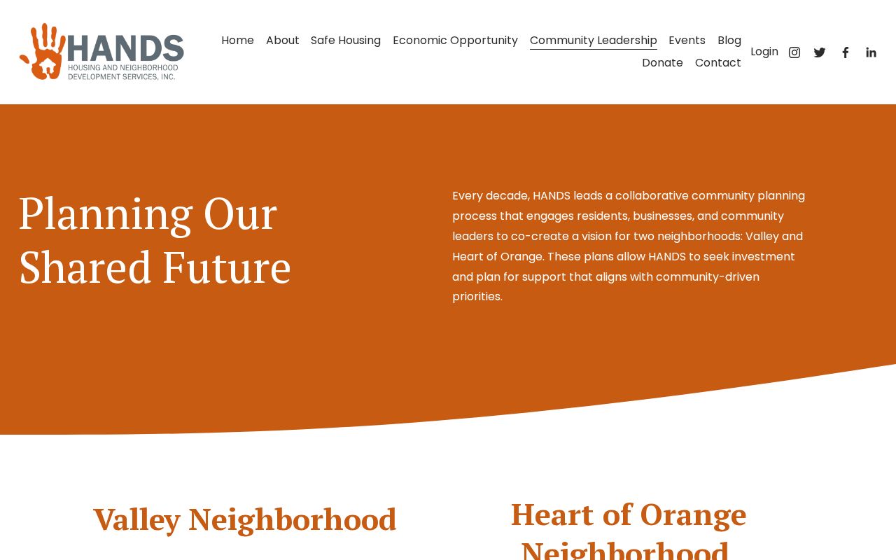
A planning boundary can include many kinds of addresses and does not prove membership, ownership, or occupancy at any one parcel. It should be read beside the tax and map layers, not in place of them.
Orange Wards, ZIPs, and Blocks Differ
Orange covers 2.21 square miles, yet its local labels can change within a short walk. Wards, precincts, ZIP codes, tax blocks, parcel boundaries, rail references, and neighborhood descriptions serve different purposes. Orange has at-large and East, West, North, and South wards, but wards and precincts are election geography. ZIPs are postal geography. Block and lot identifiers join the tax roll, NJGIN, and deed index. None of those systems can stand in for the others.
Use a municipal situs and block or lot to define an immediate block. Use USPS only to verify mail geography. Use HANDS descriptions for civic neighborhood context. That separation matters near Orange's borders with East Orange, West Orange, and South Orange, where a postal label or historical directory title may be broader than the municipality named in a tax record.
Historic Orange Neighbors in Criss-Cross Pages
Historic neighbors require a dated street source. Orange and Oranges digitized samples include 1959 and 1961 criss-cross or street pages where a row can show house number, occupant, vacancy, telephone, and nearby entries. These pages can reveal how one address sat among others in that edition. They cannot prove a present household. Check the printed page image, because OCR and abbreviations can change the meaning of a name or address.
Newark Public Library's Cummings collection holds reverse and criss-cross directories, New Jersey Bell phonebooks, and related directory material. Ask for the Orange or Oranges edition and street section. Combined regional volumes can use O, EO, SO, or WO abbreviations, so confirm the municipality and street before assigning a historic neighbor to Orange.
Privacy Limits for Orange Neighbor Lookup
Non-owner occupants, utility subscribers, delivery addresses, motor-vehicle data, protected officials and survivors, and protected voter addresses are not a public neighbor roll. The New Jersey Address Confidentiality Program can provide a substitute address to eligible safety participants. Daniel's Law has a separate protection and redaction process for covered officials and immediate household family members. NJGIN may therefore show a redacted owner field by design.
OPRA can be used for a defined government record, but it does not require disclosure of protected personal information. The Orange OPRA request form supports a focused request by record type, address, and date range. New Jersey's anti-stalking statute, N.J.S.A. 2C:12-10, applies to repeated conduct meant to cause fear or substantial emotional distress.
Lawful use. Orange neighbors research is for a limited, lawful question about a block or historic record. Do not use it to monitor, stalk, harass, intimidate, or harm anyone.